 Trexmount Ventures
Trexmount Ventures
Trexmount Ventures

Popular Searches
Ready to plan your next getaway? Let’s connect and create something incredible together.
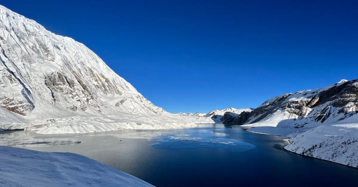
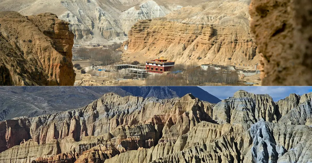
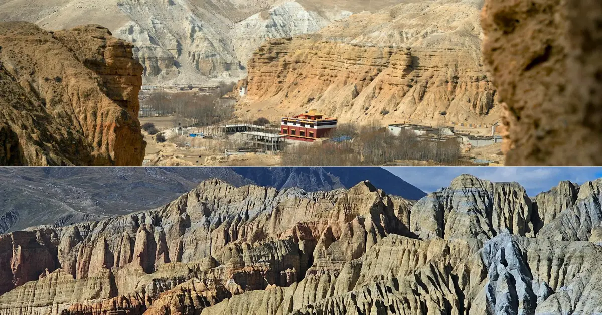
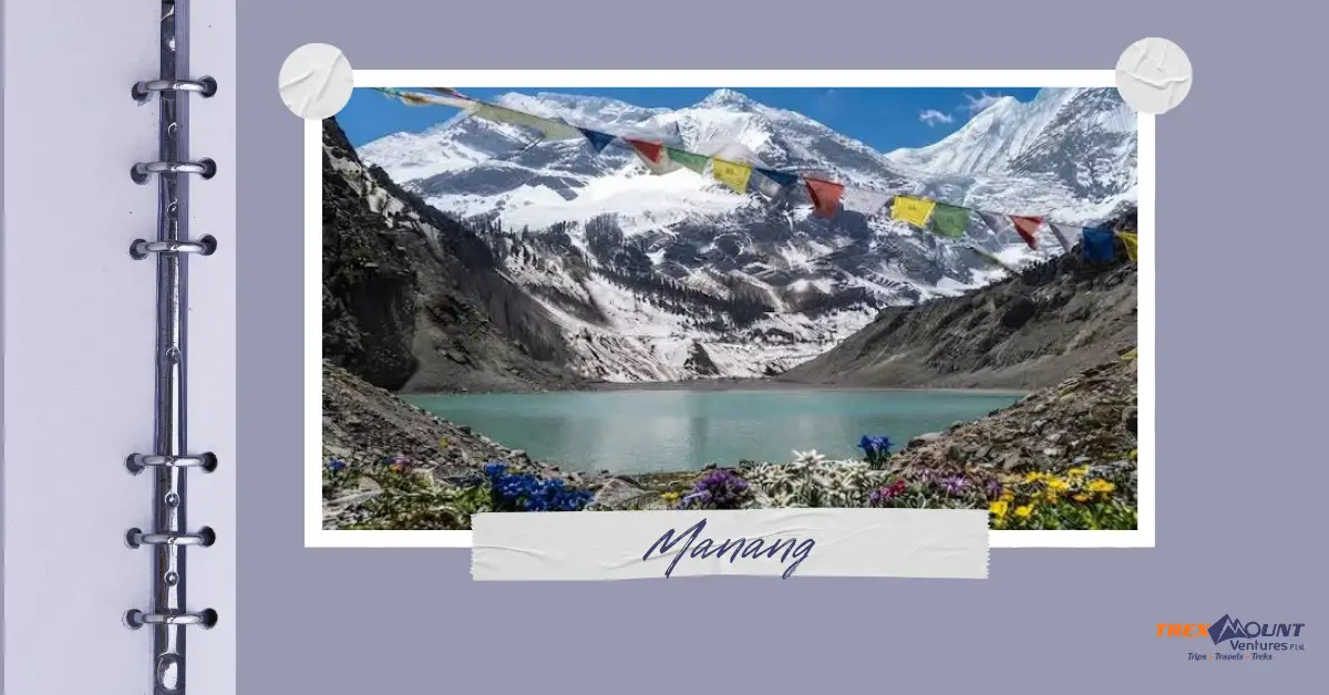
Right now, the road condition in Nepal is mixed and season-dependent, and that matters a lot if you're headed toward Ghandruk, the ABC trailheads, or Dhorpatan this monsoon. Major highways like the Kathmandu to Pokhara road are mostly stable with occasional short closures, while the trekking trail condition of Nepal on rural stretches near Nayapul, Kimche, Burtibang, and Dhorpatan remains far more fragile and weather-sensitive.
Between June and September, heavy rainfall repeatedly triggers landslides, one-way traffic controls, and temporary blockages across the hill highways connecting Pokhara to the Annapurna region and western Nepal's remote municipalities. The trail condition in Nepal changes almost daily during this window, so travelers relying on outdated blog posts or old itineraries often get caught off guard by a road that behaved very differently just weeks earlier.
At Trexmount Ventures, we track these road and trail updates constantly because our own clients walk these exact routes every season. This guide breaks down, route by route, what's actually happening on the ground toward Ghandruk, Annapurna Base Camp, and Dhorpatan Hunting Reserve, so you can plan your movement with realistic expectations instead of guesswork.
Yes, the Pokhara to Nayapul stretch is generally safe for a standard vehicle, though monsoon rain does cause intermittent delays from potholes and small local washouts. This section sits on a mostly paved feeder road off the Baglung Highway, and unlike the rougher jeep tracks further ahead, it does not require 4WD under normal conditions.
Most delays here trace back to short, heavy monsoon downbursts rather than large-scale slope failures. A washout typically involves surface debris and mud rather than a full road collapse, which is why local road crews or even trekking staff sometimes help clear it manually within an hour or two.
A local jeep can usually reach Kimche and often continues to Ghandruk, but a scooter is not recommended past Nayapul because the dirt stretch becomes steep, rutted, and unstable once the monsoon sets in. This is the section where the trekking trail condition of Nepal shifts dramatically from tarmac to raw mountain track.
During the wettest weeks of July and August, drivers commonly halt at Kimche rather than risk the final climb, and passengers complete the remaining distance on foot up stone steps into the village. This isn't a sign of a closed route; it's a standard seasonal adjustment that local operators plan around.
The trekking trail condition of Nepal on foot paths is generally more forgiving than road conditions, since trails are built for walking, not vehicles, but heavy monsoon rain still reshapes river crossings and steep descents. Trails around Ghandruk, the ABC route, and lower Dhorpatan approach paths get muddy, leech-prone, and occasionally rerouted around fresh slips.
Footpaths are narrower, drain faster, and don't carry the same weight load that erodes dirt jeep tracks. This is a core reason our guides at Trexmount Ventures often recommend walking sections that jeeps struggle with during the rainy months.
The Saljhandi-Dhorpatan road near Falleghar has a long history of monsoon disruption, and travelers can occasionally be stranded for several hours to over a day when a major landslide hits, though these closures are typically cleared once heavy rain subsides. This corridor runs roughly 197 kilometers from Rupandehi through Baglung to Dhorpatan, and the stretch beyond Falleghar is known for potholes, narrow single-lane sections, and mud.
Historical blockages on this stretch have lasted anywhere from a few hours to around a full day, depending on landslide size and how quickly heavy machinery can reach the site. Travelers heading into Dhorpatan during peak monsoon weeks should build extra flexibility into their movement plans rather than expecting a fixed transit time.
Yes, when the direct Burtibang to Dhorpatan road is washed out, local 4WD jeep services remain the most reliable alternative, since these vehicles are built for the region's rutted, high-clearance terrain and drivers know detour points around fresh slips. There is no formal paved bypass route, so alternative access largely depends on vehicle capability and local knowledge rather than a separate highway.
Because this road was never built to modern highway standards, its surface responds unpredictably to heavy rain. A skilled 4WD driver familiar with the Baglung-Dhorpatan corridor is generally a more dependable resource than searching for a formal detour that simply does not exist on this remote stretch.
No, the bridges and roads toward the ABC trailheads near Jhinu Danda and Matkyu are not completely impassable, though the jeep tracks can become temporarily rough or muddy during intense rain, while the suspension bridges themselves remain structurally solid and safe to cross. This is one of the more resilient sections of the wider Annapurna approach network.
It's usually the approach roads rather than the bridges themselves that cause delay, since dirt jeep tracks near Siwai and Matkyu lose traction quickly in sustained rain. Once past these short rough patches, the trail network toward Chhomrong and beyond returns to well-established, dependable footpaths.
Kathmandu to Pokhara road conditions are the first thing most trekkers experience, and overall the Prithvi Highway is in reasonably good shape, though ongoing roadworks and a few chronic landslide zones cause periodic delays, especially during monsoon. The full journey typically takes seven to nine hours by road under normal conditions.
Authorities have flagged the Tuinkhola slope as an extremely high-risk area, with past blockages lasting close to two full days during heavy rain events. Trexmount Ventures monitors this section closely before scheduling any transfers, since a short weather delay here is far preferable to pushing through an active slide zone.
Nepal's road and trail network is shaped by its terrain, its monsoon rhythm, and years of incremental repair work that keeps pace unevenly with the rain that undoes it. Understanding this pattern, rather than expecting fixed, predictable conditions, is the real key to moving comfortably through the hills toward Ghandruk, Annapurna Base Camp, and Dhorpatan.
If you're planning a trek toward these regions and want firsthand, current insight rather than guesswork, reach out to Trexmount Ventures. Our team tracks these roads and trails through every season and can help you understand exactly what to expect before you set out.
Road and trail conditions in Nepal can shift within days during monsoon, and the difference between a smooth journey and a stranded afternoon often comes down to knowing which stretch to avoid this week. Trexmount Ventures tracks these routes toward Ghandruk, Annapurna Base Camp, and Dhorpatan continuously, and our team can walk you through exactly what to expect before you commit to a route.
Get in touch with us today, and let's plan your trek around conditions on the ground, not outdated guesswork.
Yes, monsoon travel in Nepal is generally safe if you stay flexible with timing and avoid pushing through active landslide zones. Lower-altitude roads face more disruption than high mountain trails. Many travelers successfully visit during this season by building extra buffer days into their plans and staying updated on real-time conditions through local operators.
The most reliable trekking trail condition of Nepal for ABC occurs during autumn, from September through November, and spring, from March through May. Both seasons offer stable weather, clearer mountain views, and firmer trail surfaces. Monsoon and peak winter remain possible but come with wetter, more unpredictable trail and road conditions.
Yes, in most conditions a 4WD jeep can reach Ghandruk directly from Pokhara via Nayapul and Kimche. During heavy monsoon rain, however, jeeps sometimes only reach Kimche, requiring a short uphill walk into the village. Dry season travel almost always allows full vehicle access to Ghandruk's upper parking area.
Under normal conditions, the Kathmandu to Pokhara road conditions allow a drive of roughly seven to nine hours by private vehicle. Tourist buses often take slightly longer due to rest stops. Monsoon rain, ongoing roadworks, or a landslide near known risk zones like Tuinkhola can extend this considerably.
No, the road to Dhorpatan is not suitable for a standard car. The narrow, pothole-heavy stretch beyond Burtibang requires a 4WD jeep or motorcycle due to rough surfaces, river crossings, and monsoon-related mud. Local drivers experienced with this specific terrain are strongly recommended over self-driven vehicles.
Yes, the suspension bridges along the ABC route, including the well-known crossing near Jhinu Danda, are structurally sound and built well above typical flood lines. Rising river levels during monsoon do not compromise these fixed steel structures, though approach trails around them can become muddy and require careful footing.
Jeeps stop at Kimche when the final climb toward Ghandruk becomes too muddy, rutted, or landslide-affected for safe vehicle passage, which happens most often during peak monsoon weeks. This is a routine seasonal adjustment rather than a sign of a fully closed route, and the remaining walk typically takes one to three hours.
Most blockages result from landslides triggered by heavy monsoon rainfall loosening unstable hillside slopes, particularly in areas where roads were cut into steep terrain. Chronic risk zones, like sections of the Narayanghat-Mugling road and the Saljhandi-Dhorpatan corridor, see repeated disruption almost every rainy season until permanent stabilization work is completed.
Reopening times vary widely depending on landslide size and available machinery, ranging from a few hours for minor debris to over a day for major slope failures. Local road divisions and police typically coordinate dozer-based clearance as soon as weather conditions allow safe access to the site.
Yes, in most cases pedestrian trekking trails remain passable even when nearby jeep roads are blocked, since footpaths drain faster and are less vulnerable to the erosion that damages wider dirt tracks. This is why many trekkers switch to walking sections when vehicle access becomes unreliable during monsoon.

Welcome to Trexmount Ventures !