 Trexmount Ventures
Trexmount Ventures
Trexmount Ventures

Popular Searches
Ready to plan your next getaway? Let’s connect and create something incredible together.
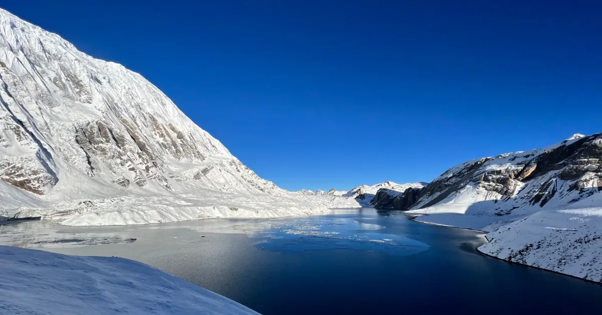
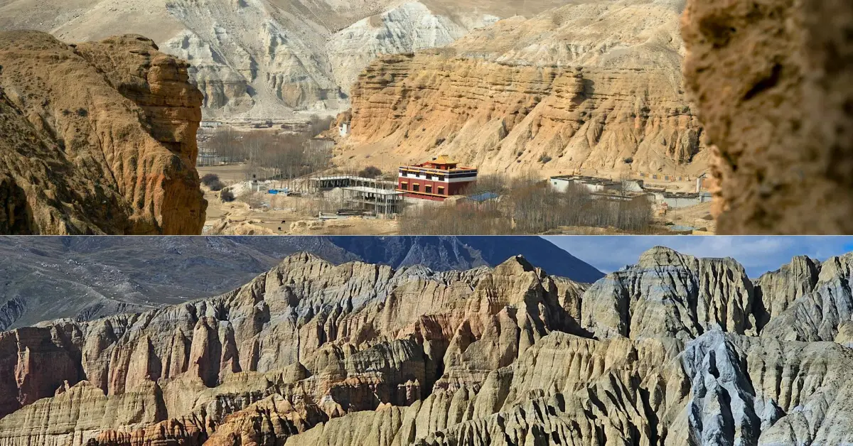

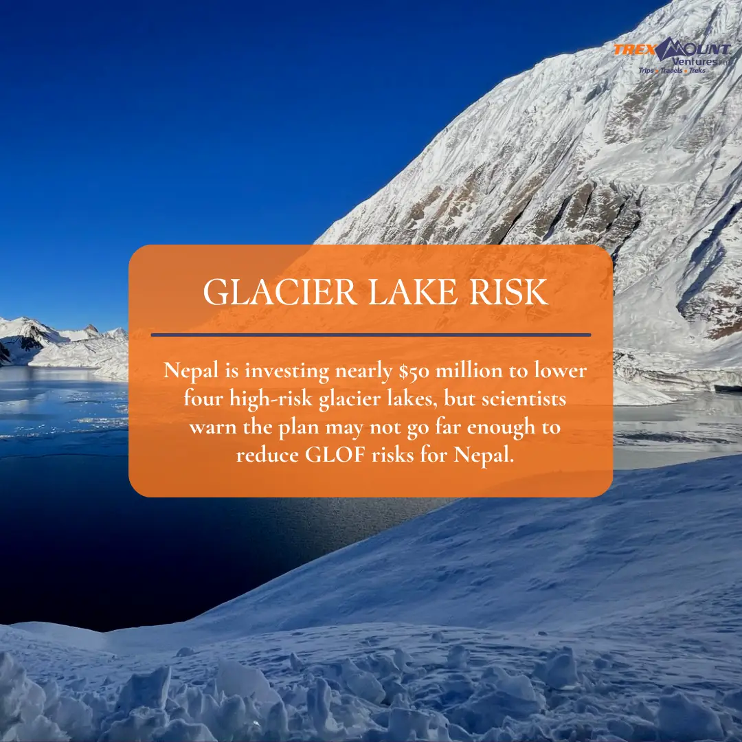
Nepal is taking a major step to reduce the danger posed by its most vulnerable glacial lakes. The government has announced a roughly $50 million project to lower the water levels of four high-risk glacial lakes, aiming to reduce the potential impact of future floods in downstream mountain communities.
But scientists say lowering four lakes alone will not make Nepal’s mountain valleys safe.
The concern is bigger than the four lakes selected for intervention. Nepal has more than 2,000 glacial lakes, while an ICIMOD and UNDP assessment identified 21 potentially dangerous lakes within the country. Scientists also warn that the number of lakes requiring attention could be considerably greater as glaciers retreat, new lakes form and existing lakes expand.
For trekkers, tourism businesses and communities living downstream, this raises an important question: Is Nepal doing enough to reduce Glacier Lake outburst risks?
A Glacial Lake is a body of water that forms around a glacier, usually as glaciers retreat and leave behind depressions or natural barriers capable of holding meltwater.
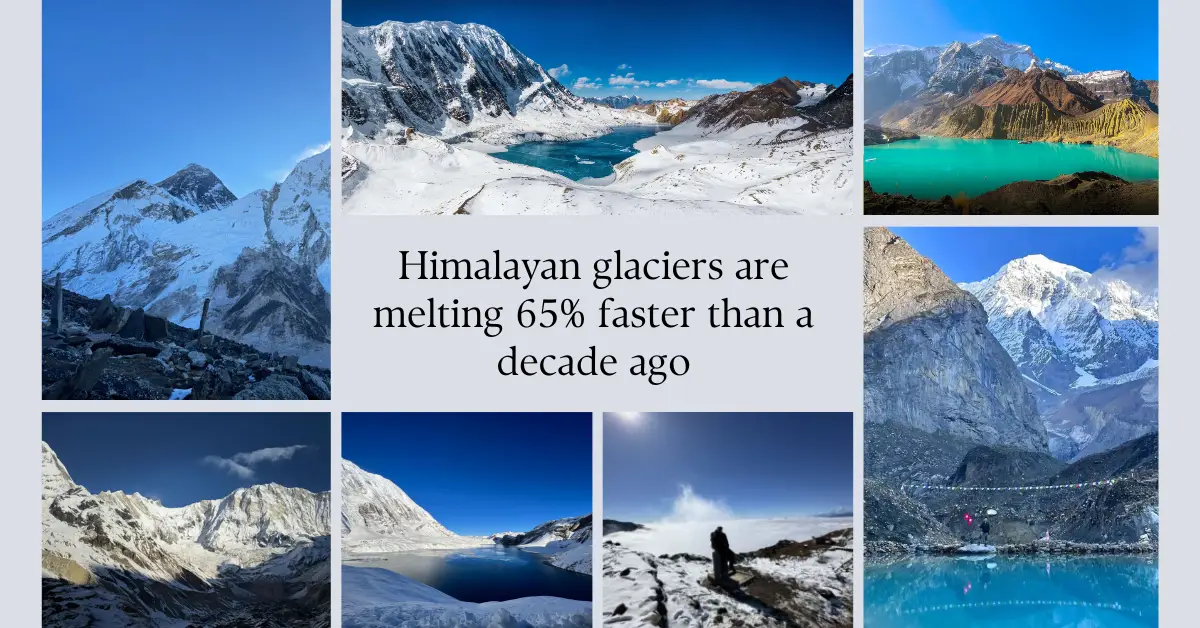
As temperatures rise, glaciers can lose ice more rapidly. Meltwater accumulates in existing lakes or contributes to the formation and expansion of new ones. While most glacial lakes do not automatically present an immediate danger, some can become hazardous when their natural dams are unstable or when large amounts of ice, rock or debris enter the lake.
The danger becomes particularly serious when a natural barrier fails and a large volume of water suddenly travels downstream.
This event is known as a Glacier Lake outburst, more commonly called a Glacial Lake Outburst Flood (GLOF).
The 2020 ICIMOD-UNDP assessment identified 47 potentially dangerous glacial lakes across Nepal, the Tibet Autonomous Region of China and India. Twenty-one of those were located in Nepal. The same research found 2,070 mapped glacial lakes in Nepal.
The government’s current project focuses on four lakes considered particularly important from a risk-reduction perspective:
These lakes were identified as high-risk in the ICIMOD and UNDP assessment. The project covers river systems in the Gandaki, Koshi and Dudhkoshi areas and is designed to reduce exposure to climate-related flooding.
The programme is known as the GLOF Sanjeevani Project. It is being implemented by Nepal’s Department of Hydrology and Meteorology in partnership with UNDP.
Funding includes a $36.16 million Green Climate Fund grant, with approximately another $13.8 million in government and partner co-financing, bringing the overall project value close to $50 million. UNDP says the wider programme is expected to benefit more than 2.2 million people living in vulnerable mountain regions.
The project is not limited to physically lowering lakes. It also includes strengthening monitoring and early warning systems, improving flood-risk management and supporting vulnerable communities.
The central issue is not whether lowering a lake can reduce risk. Scientists agree that reducing the amount of water held behind a natural barrier can help reduce the potential impact of an outburst.
The bigger question is how much the lakes should actually be lowered.
According to The Kathmandu Post, the government has not yet determined the final lowering level for the four lakes. Officials have indicated that the reduction could be similar to previous work at Tsho Rolpa and Imja.
That comparison concerns scientists because those earlier projects lowered water levels by only a few metres.
Tsho Rolpa was lowered by about three metres in 2000, while Imja was lowered by approximately 3.4 metres in 2016. Scientists interviewed by The Kathmandu Post argued that those levels should not automatically become a standard for every other lake because each lake has different depths, volumes, terrain, dams and downstream exposure.
In other words, one number cannot safely fit every Glacial Lake.
A lake in Manang may require a different intervention from one in Solukhumbu. The correct approach depends on factors such as:
Scientists therefore argue that each lake needs detailed assessment before engineers determine how much water should be removed.
One of the most important lessons from Nepal's experience is that lake lowering should not be treated as a complete solution.
The Kathmandu Post report highlights concerns that even after lowering, lakes such as Tsho Rolpa and Imja are not completely free from danger.
Why?
Because a Glacier Lake outburst can be triggered by more than increasing water levels.
A large ice avalanche, rockfall or landslide entering a lake can displace water and generate a destructive flood. The stability of the natural dam and the behaviour of the outlet are also critical.
That means risk reduction needs several layers of protection.
The government itself has recognised the importance of monitoring and early warning as part of the wider GLOF risk-reduction programme.
This is where the wider problem becomes clear.
Nepal's four targeted lakes are only a small part of the country's larger glacial-lake landscape.
ICIMOD's inventory identified 2,070 glacial lakes in Nepal within the three major river basins studied. The assessment identified 21 potentially dangerous lakes in Nepal, while scientists have subsequently stressed that risk assessments should continue because lake conditions are changing.
The size of a lake also does not necessarily determine how dangerous it is.
The Kathmandu Post highlighted the 2017 Langmale event in the Barun Valley. Although the lake involved was smaller than 0.01 square kilometres, a large volume of ice, rock and debris entered the area and generated a major flood.
This is an important warning against looking only at the largest lakes.
A smaller Glacier Lake in Nepal can still create serious downstream consequences if its surroundings, natural barriers and triggering hazards make it unstable.
Scientists interviewed in the report repeatedly emphasised that lake lowering is only one part of the solution.
Early warning may be even more important for protecting people downstream.
If monitoring equipment detects rapid changes in water levels or other warning signs, authorities and communities may have an opportunity to evacuate before floodwaters arrive.
But an effective early warning system requires more than placing a sensor beside a lake.
It needs:
Recent events in Nepal have also demonstrated the difficulty of predicting complex mountain disasters. A flood can involve several processes at once, including glacier collapse, landslides, debris flows, intense rainfall and river flooding.
That makes comprehensive mountain-risk monitoring increasingly important.
The recent disaster in the Bhotekoshi region has intensified concern about Nepal's mountain hazards.
However, it is important to make a distinction.
The August 26, 2026 disaster was triggered by a glacier and rock collapse that generated a catastrophic flood, rather than a conventional Glacier Lake outburst. The distinction matters because not every major Himalayan flood originates from a lake breach.
At the same time, the event demonstrates why Nepal cannot focus exclusively on lakes.
Scientists cited by The Kathmandu Post argue that glaciers themselves can create serious hazards and that risk assessments need to account for complex interactions between glaciers, lakes, geology, rainfall and rivers.
For Nepal, this means climate-related mountain risk is becoming a broader issue than simply asking which lake might burst next.
For trekkers, the existence of high-risk glacial lakes does not mean that trekking throughout Nepal is unsafe.
Nepal remains home to some of the world's most established trekking destinations, but Himalayan travel requires an awareness that conditions can change rapidly.
Routes can be affected by landslides, floods, heavy rainfall, avalanches, road damage and other mountain hazards. A safe trekking decision therefore depends on current local conditions rather than simply relying on an old trail description.
At Trexmount Ventures, we believe responsible trekking begins with checking current conditions before departure and making decisions based on actual accessibility and safety information.
For travellers planning routes near glaciers, high-altitude lakes or major river valleys, practical precautions include:
The objective is not to create unnecessary fear. It is to recognise that the Himalayan environment is dynamic and that responsible travel requires preparation.
Nepal's decision to invest nearly $50 million in glacier-risk reduction is an important step. The project can improve monitoring, strengthen early warning systems and reduce water levels in four particularly important lakes.
But the scientists' concerns reveal why the country needs a much broader strategy.
The biggest challenges are:
The Kathmandu Post report therefore raises an important point: the success of Nepal's investment should not be measured simply by how many metres of water are removed.
It should be measured by how much actual risk is reduced for people, settlements, infrastructure and downstream communities.
The future of Nepal's mountains is closely connected to the changing cryosphere.
As glaciers retreat, new lakes can form while existing lakes expand. ICIMOD has warned that the number and size of glacial lakes in Nepal are changing as temperatures rise.
This creates a moving target for disaster planning.
A risk assessment conducted several years ago may not accurately represent a lake's current size, depth, surrounding glacier conditions or downstream exposure.
That is why scientists are calling for updated satellite observations, field measurements, lake-depth studies and flood modelling.
For Nepal, the challenge is no longer simply identifying dangerous Glacial Lakes.
It is keeping track of how those lakes are changing and understanding what could happen if the surrounding mountain environment suddenly becomes unstable.
Nepal's plan to lower Thulagi, Lower Barun, Lumding Tsho and Hongu-2 represents a significant investment in reducing glacier-related flood risks.
But scientists are right to question whether lowering the four lakes by a limited amount will be enough.
Nepal has more than 2,000 mapped glacial lakes, and at least 21 have been identified as potentially dangerous in the major ICIMOD-UNDP assessment. Even lakes that have already been lowered can retain residual risk.
The strongest strategy is therefore not simply to drain water.
Nepal needs a combination of scientific assessment, continuous monitoring, early warning systems, controlled outlets, safer infrastructure planning, community preparedness and regular reassessment.
For the trekking and tourism industry, this is equally important. Nepal's mountains are a source of extraordinary adventure and livelihoods, but responsible travel depends on respecting the changing environment.
The four-lake project can be an important beginning. The real test will be whether Nepal uses it as the foundation for a much wider approach to mountain-risk management.
A Glacial Lake is a lake formed in a glacier-influenced environment, commonly as glaciers retreat and meltwater accumulates behind natural barriers. Some remain stable, while others can become hazardous depending on their size, depth, dam stability and surrounding terrain.
A Glacier Lake outburst, commonly called a Glacial Lake Outburst Flood or GLOF, occurs when water stored in a glacial lake is suddenly released. The resulting flood can travel rapidly downstream and carry large amounts of sediment, rock, ice and debris.
ICIMOD's inventory identified 2,070 glacial lakes in Nepal across the Koshi, Gandaki and Karnali river basins. The number can change as glaciers retreat and new lakes form or existing lakes expand.
An ICIMOD-UNDP assessment identified 21 potentially dangerous glacial lakes in Nepal out of 47 identified across Nepal, Tibet and India. Scientists have stressed that this should not be treated as a permanent or exhaustive list because lake conditions continue to change.
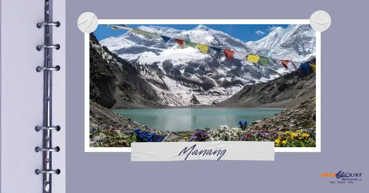
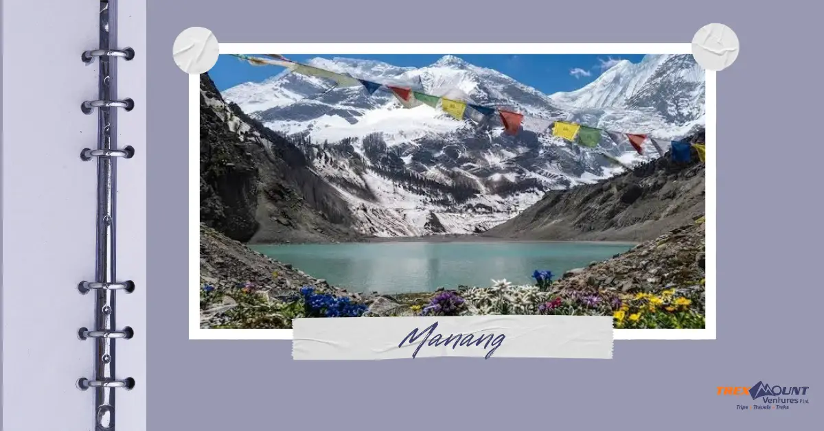
Nepal's current project targets Thulagi (Dona), Lower Barun, Lumding Tsho and Hongu-2. These lakes are located in Manang, Sankhuwasabha and Solukhumbu.
The wider project is worth nearly $50 million, consisting of a $36.16 million Green Climate Fund grant and approximately $13.8 million in co-financing from Nepal and partners.
Scientists argue that reducing lake levels does not eliminate all hazards. Different lakes require different levels of intervention, while ice avalanches, landslides, unstable dams and other mountain processes can still generate floods. Monitoring and early warning systems are therefore essential alongside lake lowering.
No. Lowering water levels can reduce the potential impact of an outburst, but it does not eliminate the possibility of flooding. Scientists say residual risks can remain even after mitigation work, meaning monitoring and preparedness must continue.
Not in the conventional sense. The August 26 disaster was associated with a glacier and rock collapse that generated a catastrophic flood. It was not a typical flood caused by a glacial lake suddenly breaching. However, the event highlighted the broader and increasingly complex glacier-related hazards facing Nepal.
The presence of glacial-lake risks does not mean that trekking throughout Nepal is unsafe. However, conditions can vary significantly between regions and seasons. Trekkers should check current weather, route and local safety conditions before travelling and remain prepared for changes caused by floods, landslides and other mountain hazards.

Welcome to Trexmount Ventures !