 Trexmount Ventures
Trexmount Ventures
Trexmount Ventures

Popular Searches
Ready to plan your next getaway? Let’s connect and create something incredible together.
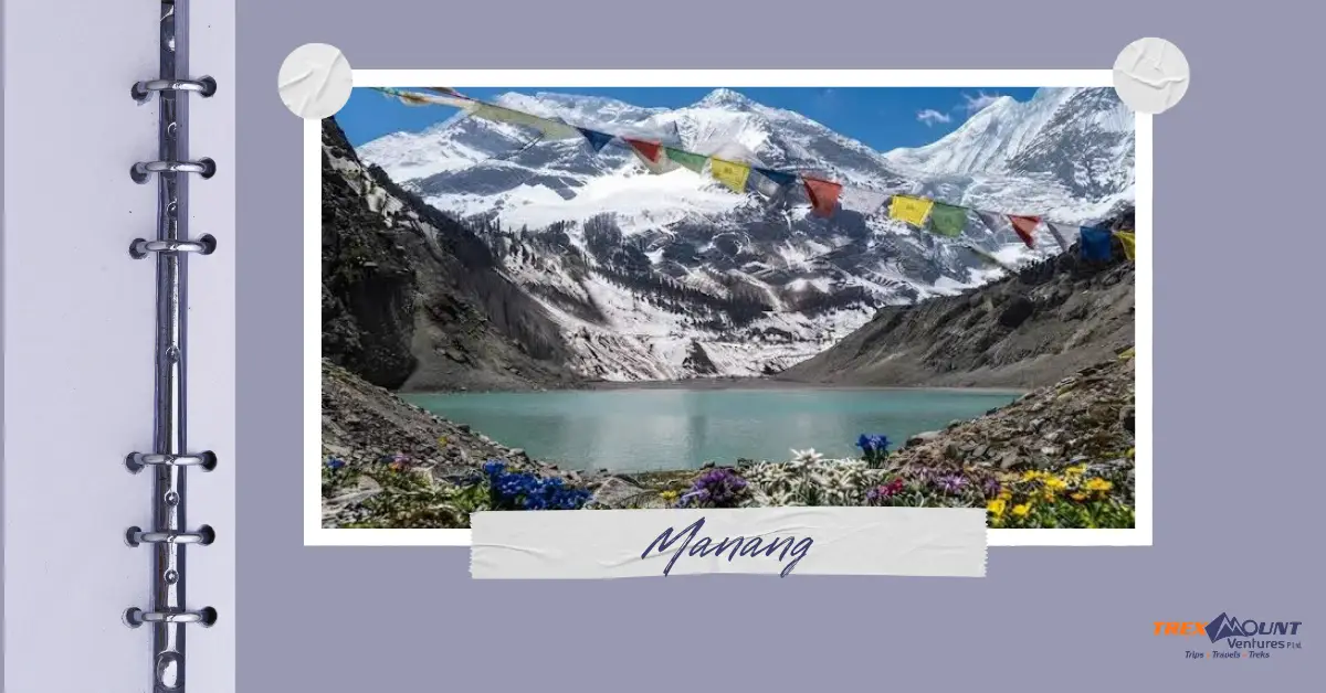
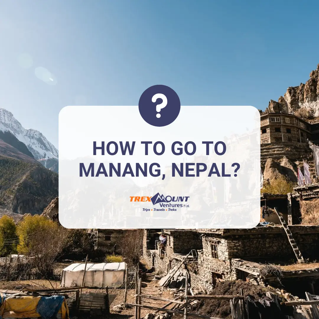
Manang is one of the most recognizable destinations on the Annapurna Circuit, sitting deep in the Marsyangdi Valley at around 3,500 meters. The straightforward answer to how to go to Manang is: travel from Kathmandu or Pokhara to Besisahar, then continue by road toward Chame, Pisang, and Manang. You can take a local or private jeep for much of the journey, or walk the route as part of the Annapurna Circuit. The Nepal Tourism Board identifies Chame as an air access point for Manang and Besisahar as the traditional starting point of the Annapurna route.
For travelers who want to experience Manang rather than simply reach it, trekking remains an important option. The journey through the Marsyangdi Valley gradually changes from green hills and villages to pine forests, dry Himalayan landscapes, and Tibetan-influenced settlements. This is also why Manang is often included in a longer Trek in Nepal, particularly the Annapurna Circuit.
The most practical route from Kathmandu is Kathmandu → Besisahar → Chame → Pisang → Manang. Kathmandu is connected to Besisahar by road, while the mountain road continues from Besisahar through the Marsyangdi Valley toward Manang.
The journey can be completed partly by road and partly on foot, depending on how much time you have and what kind of experience you want.
For most international visitors, the journey begins after arriving in Kathmandu. From there, Besisahar is the key transport gateway before entering the higher Manang section of the Annapurna region.
From Pokhara, travel by road toward Besisahar, then continue through the Marsyangdi Valley toward Manang.
Pokhara is the main tourism hub for the Annapurna region. Nepal Tourism Board describes Pokhara as the departure point for treks in the Annapurna region, with Besisahar providing access to the eastern side of the circuit.
A typical route is:
Pokhara → Besisahar → Dharapani → Chame → Pisang → Manang
Depending on road conditions and your trekking plan, you can:
The road beyond Besisahar is a mountain road rather than a conventional highway. Conditions can change because of rainfall, landslides, construction and seasonal weather. In September 2026, for example, authorities temporarily closed sections of the Besisahar–Chame road for roadwork at Dharapani.
That means travelers should avoid treating published driving times as fixed. A local transport operator or trekking agency can confirm the latest road situation before departure.
Taking a jeep from Besisahar is one of the easiest ways to reach Manang without walking the entire lower Annapurna Circuit. Jeeps travel through the Marsyangdi Valley toward Chame and onward to Manang, although the road becomes increasingly rough as it climbs.
The road passes through several important settlements, including:
The exact route and vehicle arrangements can vary depending on current road conditions.
The Besisahar–Manang road is not comparable to a normal highway. Parts of the route are narrow, rocky and exposed, while weather and road construction can affect travel.
A recent 2026 road guide describes the journey as a rough mountain track with changing conditions and possible delays.
For that reason:
If your main goal is the Annapurna Circuit Trek, driving directly to Manang can save several walking days, but it also means skipping the gradual elevation gain that comes from walking the lower section.
If you want to experience Manang as part of a Himalayan journey, trekking from the lower Marsyangdi Valley is the classic approach.
The Annapurna Circuit traditionally starts from the Besisahar area and follows the Marsyangdi River upstream toward Manang before continuing toward Thorong La and the Mustang side. Nepal Tourism Board describes the route as passing through diverse landscapes and communities before reaching the higher Manang section.
Walking toward Manang gives you time to experience the changing environment.
You move through:
This gradual transformation is one of the main reasons travelers choose to Trek in Nepal rather than simply drive directly to their destination.
Trekking allows you to:
For travelers with limited time, however, combining transportation with trekking can provide a practical compromise.
For most travelers, the most straightforward route is:
Kathmandu/Pokhara → Besisahar → Dharapani → Chame → Pisang → Manang
The exact starting point depends on your itinerary.
If you want a longer trekking experience, begin walking closer to Besisahar. If you have less time, travel farther by jeep before starting your trek.
The Annapurna region has developed road access, but that does not mean every section is easy to travel. The road remains affected by terrain, weather and ongoing construction.
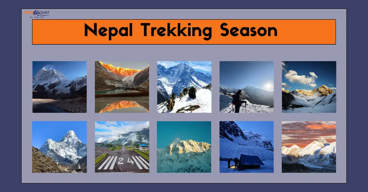
The Nepal Tourism Board recommends March–May and September–November as the main trekking seasons for the Annapurna region.
Manang is famous for its dramatic high-mountain scenery, Tibetan-influenced culture, traditional villages, location on the Annapurna Circuit, and proximity to attractions such as Tilicho Lake. It is also an important acclimatization stop before trekkers continue toward Thorong La.
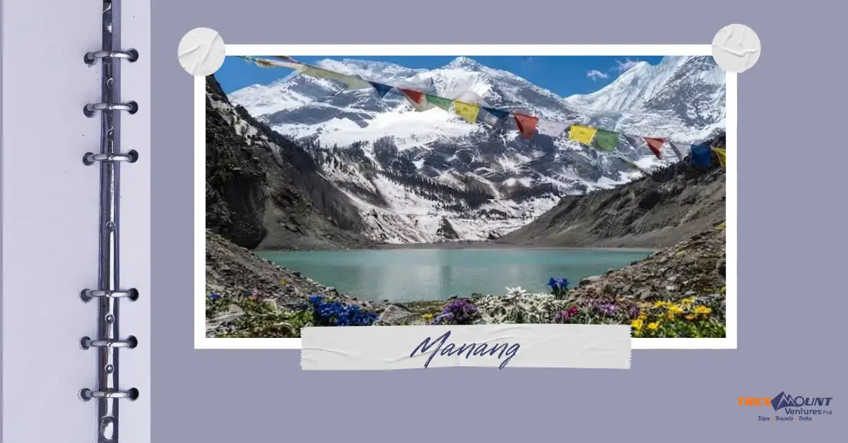
The upper Marsyangdi Valley around Manang looks very different from the greener lower sections of the Annapurna region. Nepal Tourism Board describes the area as having stark, rocky terrain resembling the Tibetan plateau, with turquoise mountain lakes and distinctive Himalayan settlements.
Manang is particularly known for:
Manang is therefore more than a transport stop. It represents the point where the Annapurna journey becomes noticeably more alpine and culturally distinct.
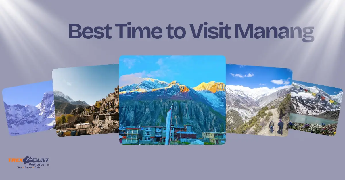
October and November are generally among the best months for visiting Manang, while March, April and May are also excellent choices. Nepal Tourism Board lists March–May and September–November as the main favorable seasons for trekking in the Annapurna region.
Each period offers a slightly different experience.
Spring brings relatively favorable trekking conditions and warmer daytime temperatures compared with winter.
The advantages include:
April and May are particularly popular among trekkers looking for spring conditions.
Autumn is another major trekking season.
It is popular because:
October and November are therefore strong choices if your priority is stable trekking weather and mountain visibility.
Winter can be considerably colder in Manang, particularly at higher elevations. Snowfall can affect higher sections and some accommodation or services may operate differently.
The situation is more complicated because Manang lies within a rain-shadow area. Nepal Tourism Board notes that Manang and Mustang can receive less monsoon rainfall than southern-facing parts of the Annapurna region.
However, road and trail conditions can still be affected by rain, landslides and transportation disruptions at lower elevations. Travelers should check current conditions rather than assuming that the rain-shadow location guarantees easy access.
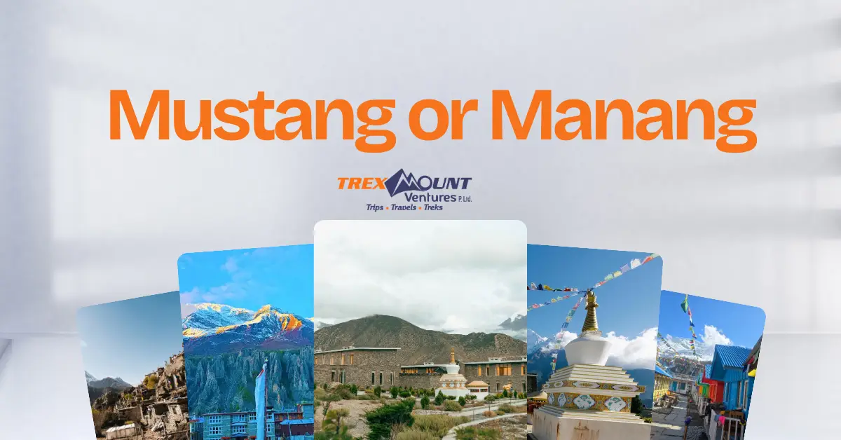
Manang and Mustang offer different experiences, so the better choice depends on what you want from your Nepal trip. Manang is closely associated with the Annapurna Circuit, high mountain landscapes and access toward Thorong La and Tilicho Lake. Mustang is known for its trans-Himalayan landscape, ancient settlements, Tibetan-influenced culture and places such as Muktinath and Lo Manthang.
Nepal Tourism Board describes Mustang as a trans-Himalayan destination with a distinctive cultural landscape, while Manang forms the upper arc of the Annapurna Circuit.
There is also an important practical difference: Upper Mustang is a restricted area requiring a special permit and government-appointed official accompaniment, while Manang is part of the Annapurna Conservation Area.
Interestingly, you do not always have to choose between them. The Annapurna Circuit continues from Manang across Thorong La toward Muktinath and the Mustang side, making it possible to experience landscapes from both regions on one longer journey.
Whether you need a guide depends on the exact route and current regulations. Travelers should check the latest TIMS and trekking requirements before departure.
Nepal Tourism Board states that trekkers should determine whether their chosen route requires a guide and TIMS card and advises travelers to work with a government-registered trekking agency where these are required.
For an organized Manang or Annapurna Circuit trip, working with an experienced agency can also simplify:
For travelers researching the Best Trekking Company in Nepal, it is worth checking whether the company is properly registered, provides licensed guides, explains inclusions clearly, and has a realistic emergency and transport plan rather than choosing solely on price.
At Trexmount Ventures, the focus should be on making the journey practical and transparent from the first transportation decision to the time you reach the Manang Valley.
Reaching Manang is straightforward in principle, but the environment is not the same as traveling to a normal hill town.
Keep these points in mind:
The Nepal Tourism Board identifies the Annapurna region as a major trekking destination with lodges, teahouses and camping options along its routes.
Manang is particularly worthwhile for travelers who want to see how Nepal's landscape changes from subtropical valleys to high Himalayan terrain within one journey. Its position on the Annapurna Circuit also makes it a natural base for exploring the upper Marsyangdi Valley.
The destination combines:
The best way to experience it depends on your available time. A jeep makes reaching Manang faster, while trekking provides a slower and more immersive journey.
For travelers who have the time, combining transportation and trekking can provide both convenience and a genuine Himalayan experience.
Travel from Kathmandu toward Besisahar, then continue through Dharapani and Chame toward Manang by jeep or trekking. The most common approach follows the Marsyangdi Valley.
Travel from Pokhara to Besisahar and then continue toward Manang by jeep or trek. Pokhara is one of the main gateways to the Annapurna region.
Yes. Road access extends from Besisahar through the Marsyangdi Valley toward Manang. Road conditions can be rough and may change because of weather and construction.
Yes. Manang can be reached as part of the Annapurna Circuit trekking route. The traditional approach follows the Marsyangdi Valley from the Besisahar area.
October and November are popular choices during the autumn trekking season. March, April and May are also favorable. Nepal Tourism Board identifies March–May and September–November as the main trekking seasons for the Annapurna region.
Manang lies in a rain-shadow area and can receive less monsoon rainfall than many other parts of Nepal. However, reaching Manang involves lower mountain roads that can still be affected by rain, landslides and road conditions.
It depends on which part of Mustang you mean. Manang village is around 3,500 m, while Muktinath is around 3,800 m and Upper Mustang includes areas around and above that elevation. Comparing the regions as a whole is therefore more complicated than comparing individual destinations.
Yes. Manang is one of the major settlements on the Annapurna Circuit, which follows the Marsyangdi Valley before crossing Thorong La toward the Mustang side.
You should check the current Annapurna Conservation Area and TIMS requirements before your trek. Nepal Tourism Board identifies the Annapurna region as requiring applicable entry permits and lists TIMS requirements for trekking routes.
Manang is an established trekking destination, but travelers should take mountain conditions seriously. Altitude, changing weather, road conditions and limited access to services at higher elevations all require appropriate planning. Checking current transport and trail conditions before departure is particularly important.

Welcome to Trexmount Ventures !