 Trexmount Ventures
Trexmount Ventures
Trexmount Ventures

Popular Searches
Ready to plan your next getaway? Let’s connect and create something incredible together.
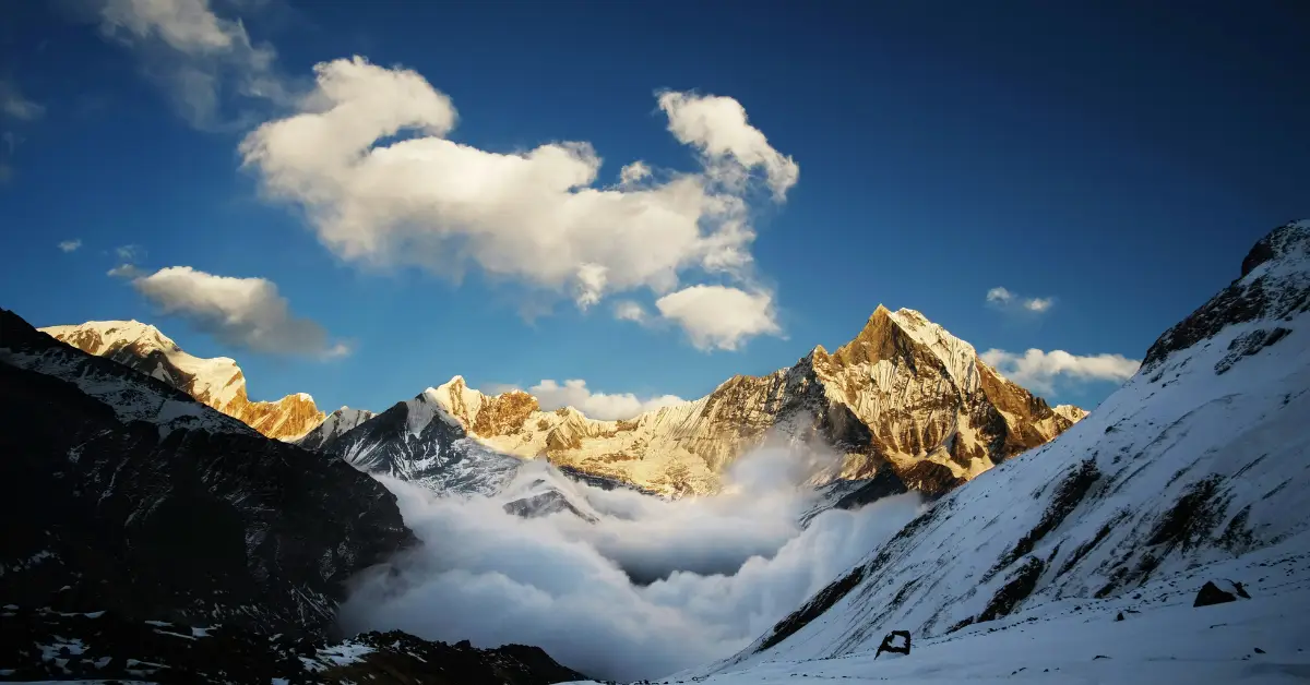

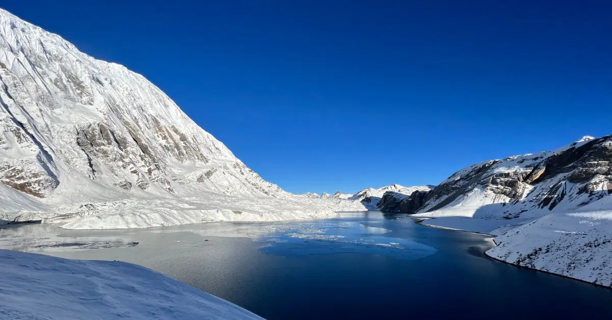
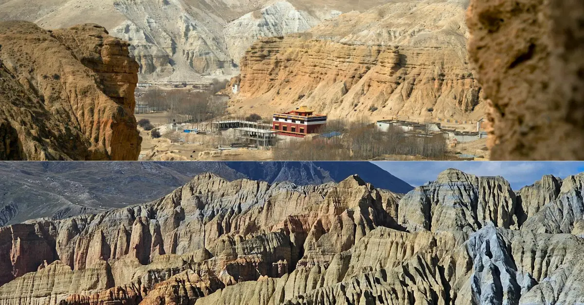
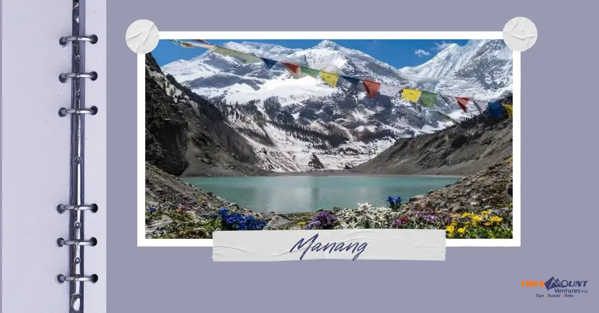

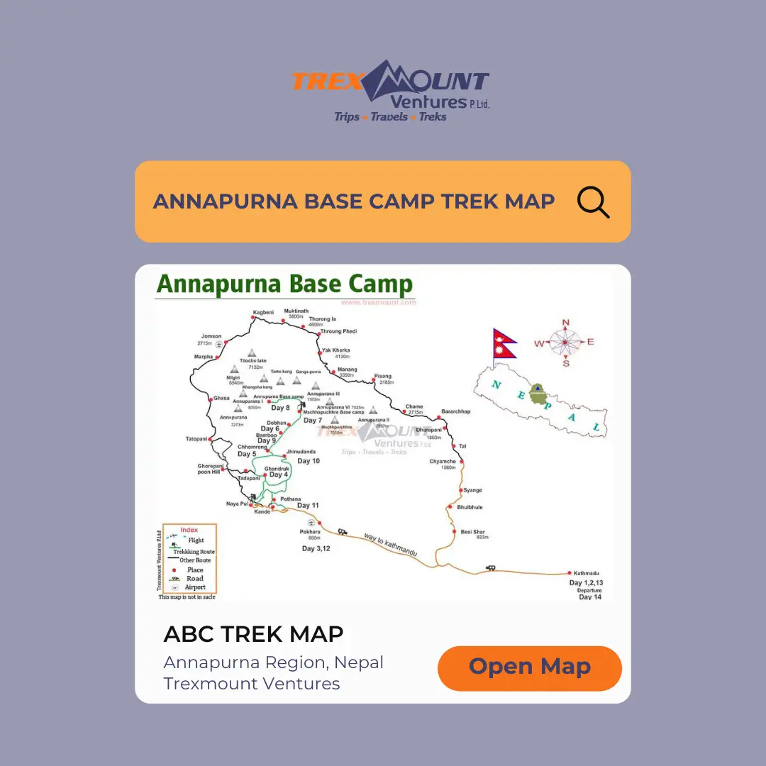
The Annapurna Base Camp trek stands as one of Nepal’s most beloved mountain adventures, offering trekkers a spectacular journey into the heart of the Annapurna Sanctuary. This comprehensive guide provides everything you need to know about the Annapurna Base Camp trek map, including detailed route information, elevation profiles, and essential trail guidance for your 2027 adventure with Trexmount Ventures.
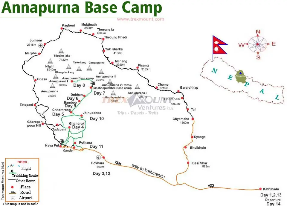
The Annapurna Base Camp trekking route map serves as your essential companion throughout this magnificent journey. Moreover, understanding how to read and interpret this map ensures a safer and more enjoyable trekking experience in the Annapurna region of Nepal.
The Annapurna Base Camp trail map with villages showcases a unique path that winds through diverse landscapes. Furthermore, this route takes you through subtropical forests, traditional Gurung villages, alpine meadows, and finally into the spectacular mountain sanctuary.
Key features of the Annapurna Base Camp trekking path include:
| Route Section | Terrain Type | Difficulty Level | Scenic Highlights |
|---|---|---|---|
| Nayapul to Ghandruk | Moderate hills | Easy to Moderate | Rice terraces, Modi Khola River |
| Ghandruk to Chomrong | Stone steps | Moderate | Gurung culture, mountain views |
| Chomrong to Bamboo | Forest trail | Moderate | Rhododendron forests, wildlife |
| Bamboo to Deurali | Ascending path | Moderate to Challenging | Alpine vegetation, waterfalls |
| Deurali to ABC | High altitude | Challenging | Glaciers, mountain amphitheater |
The Annapurna Base Camp route overview provides crucial information for navigation. Additionally, modern trekking maps include topographical details, village locations, and estimated walking times between points.
When examining your ABC trek detailed route map, pay attention to contour lines that indicate elevation changes. Similarly, marked trails show the main path while alternative routes appear as dotted lines on most comprehensive maps.
The Annapurna Base Camp trail map with villages highlights the cultural richness of this trekking region. Consequently, trekkers experience authentic mountain hospitality while journeying toward their destination.
Each village on the Annapurna Base Camp trekking trail guide offers unique cultural experiences and necessary facilities. Therefore, understanding these settlements helps in planning your daily itinerary effectively.
Primary villages you’ll encounter:
| Village Name | Altitude (meters) | Facilities Available | Cultural Significance |
|---|---|---|---|
| Ghandruk | 1,940m | Lodges, shops, museum | Traditional Gurung village |
| Chomrong | 2,170m | Multiple teahouses | Gateway to Annapurna Sanctuary |
| Sinuwa | 2,360m | Basic lodges | Rest point with views |
| Bamboo | 2,310m | Simple accommodations | Forest location |
| Deurali | 3,230m | Limited facilities | High altitude settlement |
| Machapuchare Base Camp | 3,700m | Teahouses | Close to sacred mountain |
The Annapurna Base Camp trekking region map clearly marks these villages as orientation points. Subsequently, trekkers can estimate their progress and plan rest stops according to their fitness levels and acclimatization needs.
The Annapurna Base Camp elevation map is perhaps the most critical tool for understanding this trek’s physical demands. Moreover, studying the ABC trek altitude profile map helps trekkers prepare mentally and physically for elevation gains.
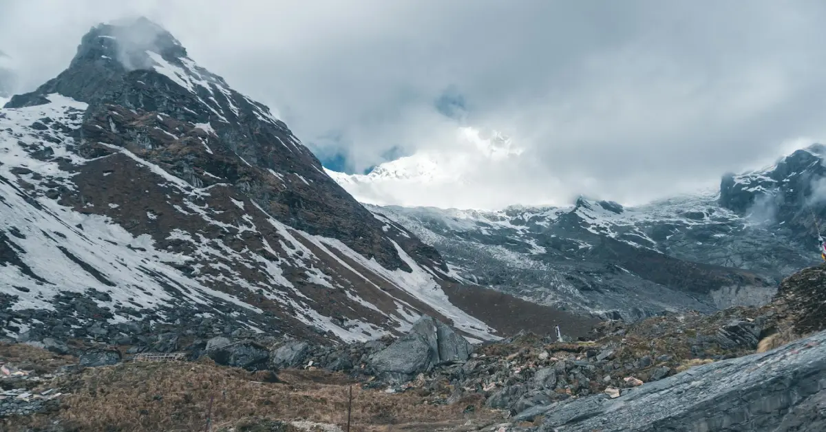
The Annapurna Base Camp map with altitude reveals significant elevation variations throughout the journey. Therefore, proper acclimatization becomes essential, especially after crossing 3,000 meters.
Elevation milestones on the trek:
| Location | Elevation (m) | Elevation (ft) | Acclimatization Status |
|---|---|---|---|
| Nayapul | 1,070m | 3,510 ft | Starting point |
| Chomrong | 2,170m | 7,120 ft | Moderate altitude |
| Bamboo | 2,310m | 7,580 ft | Acclimatization begins |
| Himalayan Hotel | 2,920m | 9,580 ft | Important rest point |
| Machapuchare BC | 3,700m | 12,139 ft | High altitude zone |
| Annapurna Base Camp | 4,130m | 13,549 ft | Maximum elevation |
The ABC trek altitude profile map shows a generally gradual ascent with some steep sections. Furthermore, the descent follows the same route, allowing trekkers to return safely with altitude-related risks minimized.
Interestingly, the Annapurna Base Camp trekking stages map demonstrates strategic rest points positioned perfectly for acclimatization. Additionally, villages are spaced to allow comfortable daily walking distances of 4-7 hours.
The Annapurna Base Camp trekking distance chart provides essential planning information for daily walks. Moreover, understanding these distances helps trekkers pace themselves appropriately throughout the journey.
The complete Annapurna Base Camp trail distance map shows approximately 110 kilometers round trip. However, actual distances vary depending on your chosen route and whether you include side trips.
Distance breakdown by section:
| Route Section | Uphill Distance | Downhill Distance | Total Round Trip | Difficulty Rating |
|---|---|---|---|---|
| Nayapul to Ghorepani | 14 km | – | 28 km | Moderate |
| Ghorepani to Chomrong | 22 km | – | 44 km | Moderate |
| Chomrong to Bamboo | 7 km | – | 14 km | Moderate |
| Bamboo to ABC | 14 km | – | 28 km | Challenging |
| Complete Circuit | 55 km | 55 km | 110 km | Moderate-Challenging |
The Annapurna Base Camp trekking stages map divides these distances into manageable daily sections. Consequently, most trekkers walk between 4 and 7 hours daily, covering 6-12 kilometers depending on terrain.
The Annapurna Sanctuary trek map encompasses the entire protected area surrounding the base camp. Furthermore, this sanctuary represents a sacred space with unique geographical and cultural significance.
The Annapurna Base Camp trekking region map shows how mountains form a natural amphitheater. Additionally, this circular arrangement creates a protected valley with its own microclimate and ecosystem.
Surrounding peaks visible from base camp:
| Geographic Feature | Significance | Best Viewing Point | Special Notes |
|---|---|---|---|
| Modi Khola Valley | Trek corridor | Throughout journey | Follows river upstream |
| Annapurna Glacier | Ice formation | Base Camp | Feeds Modi Khola |
| South Gate | Sanctuary entrance | Chomrong area | Cultural significance |
| Mountain Amphitheater | 360° peaks | Annapurna Base Camp | Unique formation |
The Annapurna Base Camp trekking trail guide explains conservation regulations within the sanctuary. Therefore, trekkers must follow strict environmental guidelines to preserve this pristine ecosystem.
The Annapurna Base Camp trek height reaches a maximum elevation of 4,130 meters (13,549 feet) at the base camp itself. Moreover, understanding altitude effects becomes crucial for the successful completion of this adventure.
The Annapurna Base Camp map with altitude clearly marks all significant elevation points. Subsequently, trekkers can plan their acclimatization strategy according to these markers.
Key altitude milestones:
| Location | Height (meters) | Height (feet) | Oxygen Level | Acclimatization Need |
|---|---|---|---|---|
| Pokhara (start) | 827m | 2,713 ft | ~100% | None |
| Ghorepani | 2,874m | 9,429 ft | ~72% | Beginning stages |
| Chomrong | 2,170m | 7,120 ft | ~77% | Moderate |
| Deurali | 3,230m | 10,597 ft | ~67% | Important |
| MBC | 3,700m | 12,139 ft | ~63% | Critical |
| ABC | 4,130m | 13,549 ft | ~60% | Maximum care needed |
The ABC trek altitude profile map helps trekkers understand when altitude sickness risks increase. Therefore, ascending gradually and drinking plenty of water becomes essential above 3,000 meters.
Comparing ABC VS EBC helps trekkers choose the right Himalayan adventure. However, both treks offer unique challenges and rewards that appeal to different preferences and fitness levels.
The Annapurna Base Camp trekking route map shows a shorter overall distance compared to the Everest Base Camp trek. Consequently, ABC typically requires less total trekking time, making it more accessible for those with limited vacation time.
Physical challenge factors:
| Comparison Factor | Annapurna Base Camp | Everest Base Camp | Winner |
|---|---|---|---|
| Maximum Altitude | 4,130m | 5,364m | ABC (lower/easier) |
| Total Duration | 7-12 days | 12-16 days | ABC (shorter) |
| Altitude Sickness Risk | Moderate | Higher | ABC (lower risk) |
| Trail Difficulty | Moderate | Moderate-Difficult | ABC (slightly easier) |
| Accommodation Quality | Good | Good | Equal |
| Cultural Experience | Rich Gurung culture | Sherpa culture | Equal (different) |
| Mountain Views | Spectacular amphitheater | Mt. Everest close-up | Personal preference |
The ABC trek detailed route map reveals no technical climbing sections required. Similarly, the Annapurna Base Camp trekking trail guide confirms that anyone with reasonable fitness can complete this trek without mountaineering experience.
While we won’t discuss specific pricing, understanding what the Annapurna Base Camp trek guide includes helps trekkers budget appropriately. Moreover, various factors influence the overall investment in this adventure.
The Annapurna Base Camp trekking itinerary map shows how duration impacts overall expenses. Additionally, choosing between teahouse trekking versus organized group treks creates different pricing structures.
Investment considerations include:
| Expense Category | Frequency | Necessity Level | Notes |
|---|---|---|---|
| TIMS Card | One-time | Mandatory | Trekking permit |
| ACAP Permit | One-time | Mandatory | Conservation area fee |
| Accommodation | Nightly | Mandatory | Teahouse lodges |
| Meals | Daily | Mandatory | Breakfast, lunch, dinner |
| Guide Services | Optional | Recommended | Experienced local guide |
| Porter Services | Optional | Comfort choice | Carries main backpack |
| Travel Insurance | One-time | Highly recommended | Emergency evacuation |
The Annapurna Base Camp trekking path offers flexibility for different budget levels. Therefore, independent trekkers can manage expenses differently from those joining organized groups.
Your Annapurna Base Camp trail map with villages serves multiple purposes beyond basic navigation. Furthermore, understanding how to maximize this tool’s usefulness enhances safety and enjoyment throughout your journey.
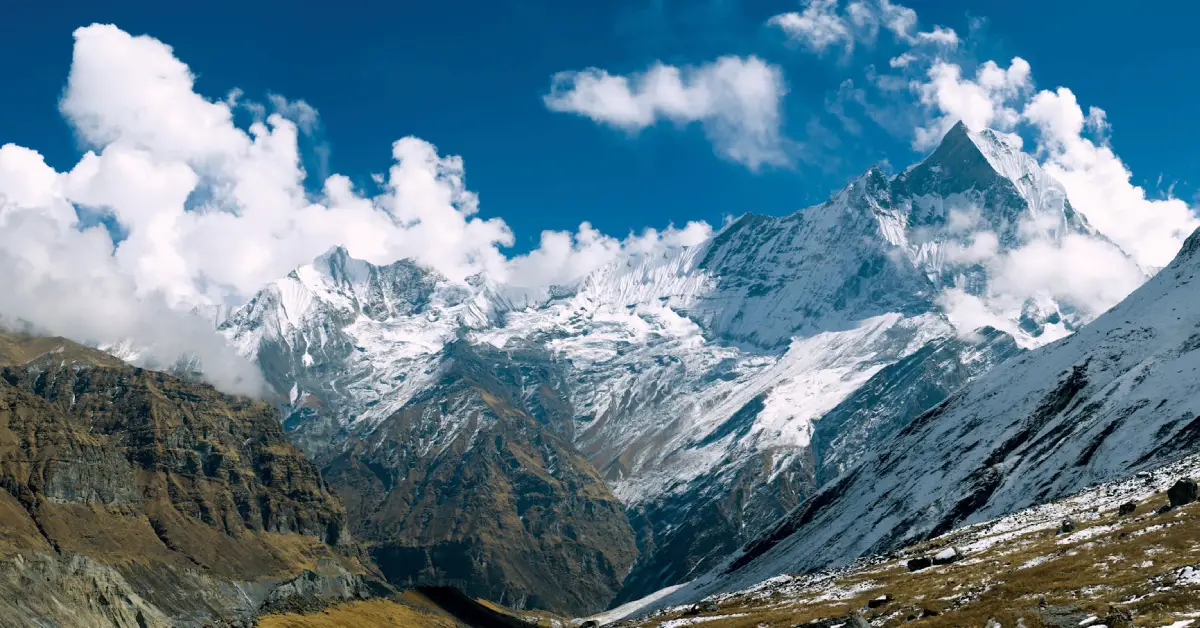
The Annapurna Sanctuary trek map uses standard topographical symbols and conventions. Additionally, learning to interpret contour lines, elevation markers, and distance scales proves invaluable during the trek.
Essential map-reading skills:
| Map Feature | What It Shows | How to Use It | Importance Level |
|---|---|---|---|
| Contour Lines | Elevation changes | Gauge difficulty | High |
| Village Symbols | Settlement locations | Plan rest stops | High |
| Trail Markings | Path directions | Navigation | Critical |
| Water Sources | Rivers, streams | Hydration planning | Moderate |
| Viewpoint Icons | Scenic locations | Photo opportunities | Low |
Modern trekkers often use both digital apps and traditional paper maps. However, the Annapurna Base Camp trekking region map in physical form provides reliability when electronic devices fail or lose battery power.
The standard Annapurna Base Camp trekking itinerary map shows 7-12 days for completion. Most trekkers prefer the 10-day itinerary, which includes proper acclimatization time and allows for the Poon Hill side trip. Faster trekkers with excellent fitness can complete it in 7 days, while those wanting a more leisurely pace or including additional viewpoints might extend it to 12 days. The duration also depends on your starting point, with some beginning from Phedi instead of Nayapul, which adds or subtracts time accordingly.
The Annapurna Base Camp trekking route map is accessible year-round, but optimal seasons are spring (March-May) and autumn (September-November). Spring offers blooming rhododendrons and clearer skies, while autumn provides the most stable weather and excellent mountain visibility. The Annapurna Base Camp elevation map shows why winter (December-February) is possible but cold at higher elevations, while monsoon (June-August) brings heavy rainfall, making trails slippery and leeches common in lower sections. However, summer trekking offers fewer crowds for those prepared for rain.
While the Annapurna Base Camp trekking trail guide is well-marked and many trek independently, hiring a guide offers significant advantages. Guides provide cultural insights, help with navigation using the ABC trek detailed route map, assist during emergencies, and support the local economy. The trail is generally easy to follow with good signage, but guides prove invaluable for first-time trekkers in Nepal, those concerned about altitude sickness, or anyone wanting to learn about local culture. Solo trekking is permitted but requires confidence in navigation and altitude management.
The Annapurna Base Camp trekking region map falls within the Annapurna Conservation Area, requiring two permits. First, you need the ACAP (Annapurna Conservation Area Permit), which supports environmental conservation. Second, you need the TIMS Card (Trekkers’ Information Management System), which helps with trekker safety and rescue coordination. Both permits can be obtained in Kathmandu or Pokhara before starting your trek. Your Annapurna Base Camp trek guide or trekking agency can arrange these, or you can obtain them independently from the Nepal Tourism Board office or TAAN office.
The Annapurna Base Camp map with altitude shows the maximum elevation of 4,130m, where altitude sickness can occur. However, the gradual ascent profile shown on the ABC trek altitude profile map allows most trekkers to acclimatize properly. Symptoms like headache, nausea, and fatigue may appear above 3,000m. The key prevention strategy involves ascending slowly, staying hydrated, and including rest days. The Annapurna Base Camp trekking stages map is designed with acclimatization in mind. If symptoms worsen, descending immediately is crucial, and guides can help make these critical decisions.
The Annapurna Base Camp trail map with villages shows numerous teahouses offering basic but comfortable accommodation. Most teahouses provide simple rooms with two beds and blankets, though heating is limited at higher elevations. Shared bathroom facilities are standard, with hot showers available for an extra fee. Dining halls serve nutritious meals including dal bhat, pasta, soups, and eggs. Electricity for charging devices is usually available for a small fee. The Annapurna Base Camp trekking distance chart helps you plan which teahouses to use as overnight stops based on your daily walking capability.
The Annapurna Base Camp route overview ranks as moderate difficulty among Nepal’s popular treks. The ABC trek detailed route map shows well-maintained trails without technical climbing sections. Compared to Everest Base Camp, it’s shorter and lower altitude, making it more accessible. It’s more challenging than the Poon Hill short trek but easier than the full Annapurna Circuit. The Annapurna Base Camp trekking path requires good fitness for 4-7 hour daily walking, but doesn’t demand previous trekking experience. The gradual elevation gain shown on the Annapurna Sanctuary trek map makes it suitable for first-time Himalayan trekkers.
Yes, the Annapurna Base Camp trekking trail guide confirms monsoon trekking is possible, though challenging. The Annapurna Base Camp trekking route map shows that this region receives significant rainfall during June-August, making trails muddy and slippery. Lower sections become leech-infested, and mountain views are often obscured by clouds. However, the Annapurna Sanctuary trek map indicates that the area sits in a rain shadow, receiving less precipitation than some other regions. Monsoon trekking offers advantages like fewer crowds, lush green landscapes, and discounted accommodation. Proper rain gear and leech-proof socks are essential for comfort and safety.
Your Annapurna Base Camp trekking itinerary map helps determine what to pack based on season and duration. Essential items include layered clothing for varying temperatures, a warm jacket for high altitudes, good trekking boots, a sleeping bag (though teahouses provide blankets), water purification tablets, a basic first-aid kit, a headlamp, sunscreen, and trekking poles. The ABC trek altitude profile map shows significant elevation changes requiring adaptable clothing. Don’t overpack as porters have weight limits. The Annapurna Base Camp trail distance map indicates you’ll walk daily, so pack light. Teahouses sell basic supplies, though at premium prices.
The Annapurna Base Camp trekking stages map shows daily walks of 4-7 hours, requiring good cardiovascular fitness. Ideal preparation includes 3-4 months of regular aerobic exercise like hiking, running, or cycling. Practice walking uphill with a backpack to simulate trekking conditions. The Annapurna Base Camp elevation map indicates significant altitude gain, so stair climbing helps build leg strength. Core strengthening exercises improve balance on uneven terrain. Mental preparation is equally important as physical training. The Annapurna Base Camp trekking path demands persistence and a positive attitude. Starting with shorter treks builds confidence before attempting this classic Himalayan adventure.

Welcome to Trexmount Ventures !