 Trexmount Ventures
Trexmount Ventures
Trexmount Ventures

Popular Searches
Ready to plan your next getaway? Let’s connect and create something incredible together.
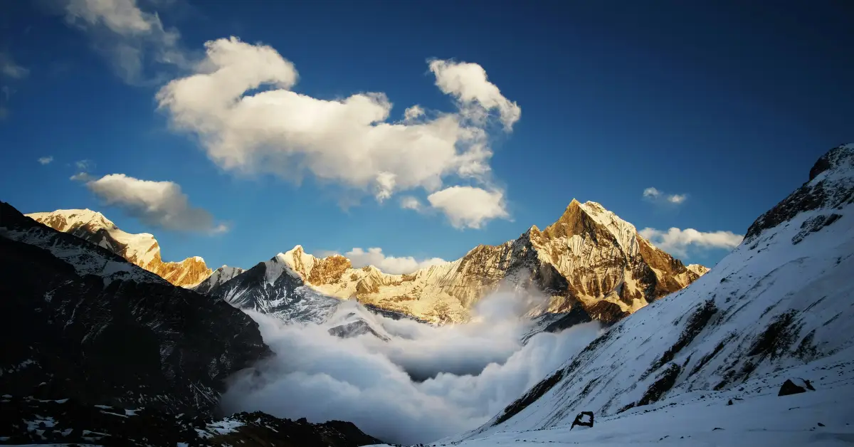

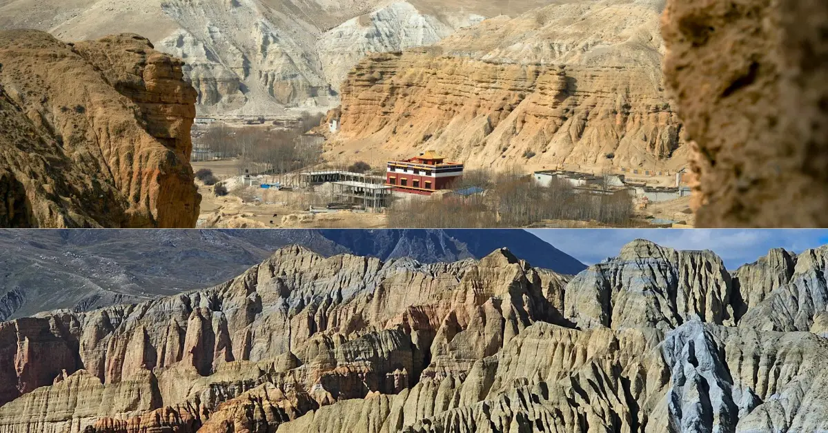
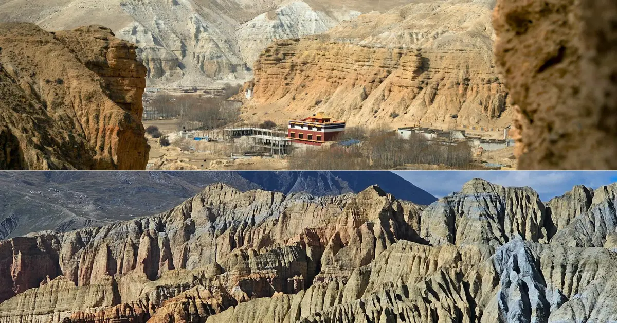
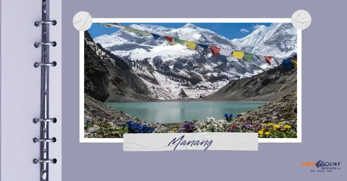
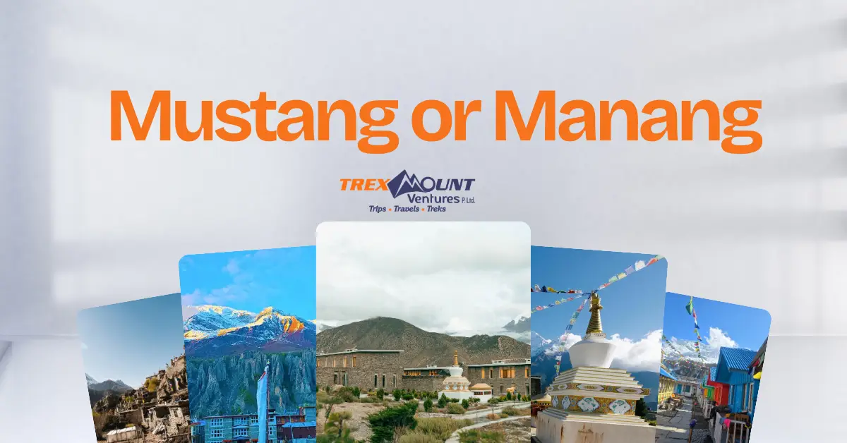
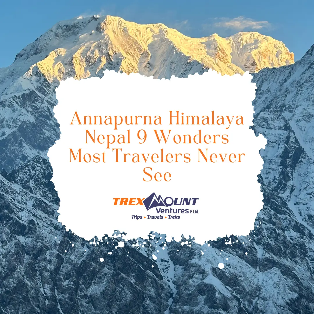
Yes, the Annapurna Himalaya Nepal region hides at least nine remarkable spots that even repeat trekkers walk past: Khopra Ridge, Khayer Lake, Mardi Himal Base Camp, Tilicho Lake, Ice Lake, Nar Village, Upper Mustang's Lo Manthang, Gangapurna Lake, and Mohare Danda. Each sits away from the main Annapurna Base Camp Trek and Annapurna Circuit crowds, yet delivers views, culture, or altitude experiences that rival the famous stops.
I have spent close to two decades writing about trekking in Nepal, and I still meet clients who assume Annapurna begins and ends at Base Camp. It doesn't. The Annapurna Massif spans roughly 55 kilometers and holds nine major peaks above 7,200 meters, plus dozens of valleys, lakes, and ridgelines that most itineraries skip entirely. This guide walks through those nine wonders one by one, with real altitude figures, exact locations, and how you actually get to each one.
The Annapurna Massif is a 55-kilometer mountain range in Gandaki Province, central Nepal, anchored by Annapurna I at 8,091 meters, the tenth-highest peak on Earth. It also holds Annapurna II, III, IV, Gangapurna, Machapuchare, and several smaller giants above 7,000 meters.
What makes the Annapurna region Nepal so valuable for trekkers is variety packed into one massif:
This landscape density is why Annapurna trekking consistently ranks alongside the Everest Base Camp Trek as one of the two most requested trekking regions in Nepal.
Yes, Annapurna is fully part of the Himalayas. It sits within the central Himalayan range in north-central Nepal, between the Kali Gandaki Gorge to the west and the Marshyangdi River valley to the east. Geologically and geographically, the Annapurna Himalayas are one of several major sub-ranges of the greater Himalayan chain, alongside the Everest (Mahalangur) and Dhaulagiri ranges.
The confusion sometimes comes from marketing language, where "Annapurna Himalaya" and "Everest Himalaya" get used as if they were separate mountain systems. They are not separate systems; they are neighboring sections of the same Himalayan arc that stretches from Pakistan to Bhutan. Annapurna's proximity to the Kali Gandaki, the world's deepest gorge, is part of why the mountains in Nepal here produce such dramatic elevation changes over short distances.
Here are the nine places, in the order most itineraries could realistically link them together, with altitude, fame, exact location, and access.
Khopra Ridge sits in Myagdi district, reached by branching off the Ghandruk-to-Ghorepani trail through Tadapani and Bayeli Kharka. It is famous for an open, uninterrupted panorama of Dhaulagiri, Annapurna South, and Nilgiri without the teahouse queues of Annapurna Base Camp. You reach it on foot only; there is no road or flight option, which is exactly what keeps it quiet. Most guided groups add two extra days to a standard Ghorepani-Ghandruk loop to include it.
Khayer Lake, also spelled Khayer Tal, is a sacred alpine lake reached as a long day hike from Khopra Ridge itself. It is famous for its stillness and its status as a pilgrimage site for local Hindu communities, alongside sweeping views back toward Dhaulagiri. Getting there means walking from Khopra, gaining nearly 1,000 meters of elevation in a single push, then returning the same day or overnighting at Khopra.
Mardi Himal Base Camp sits beneath Machapuchare, in Kaski district, and this trekking route only opened in 2012, making it one of the newest official trails in the Annapurna region Nepal has to offer. It is famous for close-up views of Machapuchare and Annapurna South from a narrow, exposed ridge rather than a wide valley floor. Trekkers reach it by driving from Pokhara to Kande, then walking through Forest Camp, Low Camp, and High Camp before the final push.
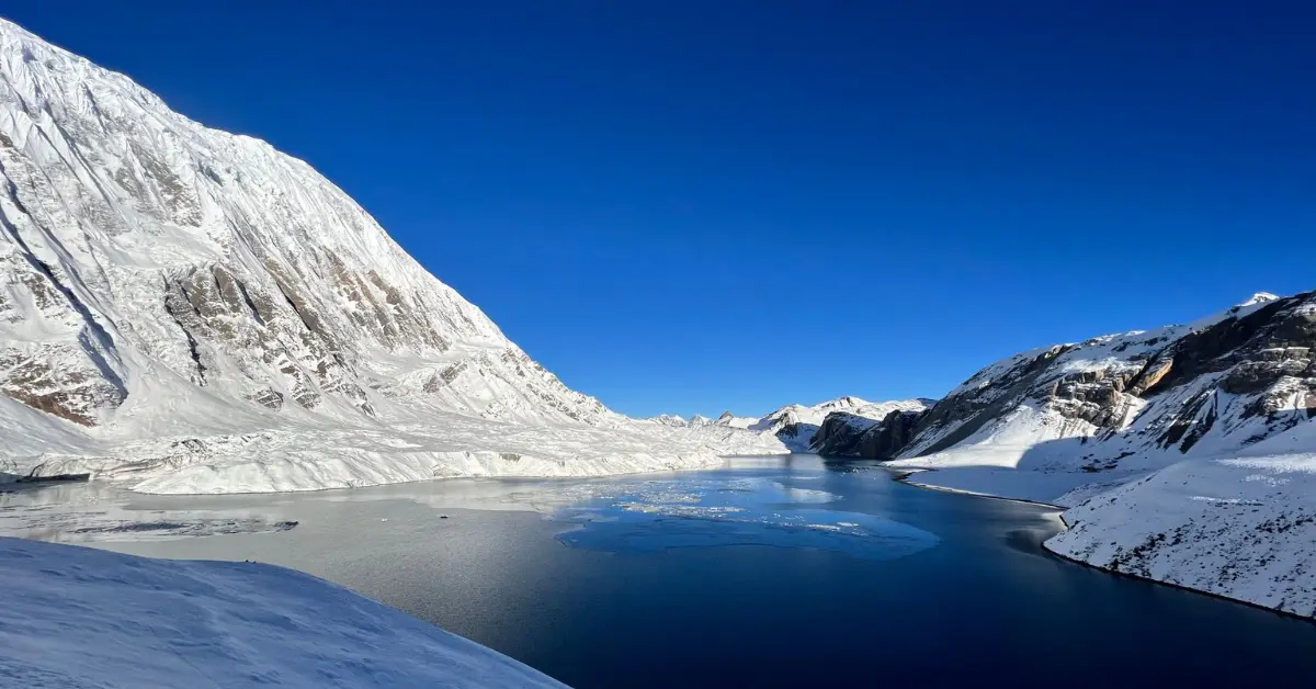
Tilicho Lake, in Manang district, is one of the highest lakes of its size in the world and a signature side trip off the Annapurna Circuit. It is famous for its glacial-blue water framed by Tilicho Peak and Nilgiri, and for the sheer scale of the basin it sits in. Access runs from Manang village through Shree Kharka and Tilicho Base Camp, adding roughly two to three days to a standard circuit itinerary.
Ice Lake sits above Manang village, also in Manang district, and is famous as a high-altitude acclimatization hike with some of the earliest full Himalayan panoramas on the route. The frozen, ringed lake and its surrounding snow-capped peaks make it a favorite among trekkers pausing in Manang before crossing Thorong La. It is reached by a steep half-day walk directly from Manang, with no permit beyond the standard Annapurna Conservation Area Project card.
Nar Village, in the restricted Nar Phu Valley near the Tibet border in Manang district, is famous for cliffside stone architecture and Tibetan Buddhist culture largely untouched by circuit tourism. It requires a special restricted-area permit in addition to the standard Annapurna Conservation Area Project fee, plus a minimum of two trekkers with a licensed guide. You reach it by branching off the Annapurna Circuit at Koto and walking north through Meta for two to three days.
Lo Manthang, the walled former capital of the Kingdom of Lo in Mustang district, was closed to outsiders until 1992 and remains one of the most culturally preserved Tibetan-influenced regions anywhere. It is famous for its 15th-century royal palace, desert-like canyons, and centuries-old monasteries. Trekkers and travelers reach it by flying or driving to Jomsom, then continuing by jeep or on foot through Kagbeni and Chele, with a restricted-area permit required.
Gangapurna Lake sits just outside Manang village, fed by the glacier below Gangapurna Peak at 7,455 meters. It is famous as an easy, uncrowded acclimatization walk rather than a destination trek in itself, with milky turquoise water framed by the glacier wall above it. Access is a short, flat stroll from Manang, making it one of the least strenuous entries on this list.
Mohare Danda, in Myagdi district near Ghorepani, is famous as a quieter alternative to Poon Hill with a nearly identical panorama of both the Annapurna mountain range and Dhaulagiri. It runs through eco-community lodges in Magar villages, making it popular with travelers who want cultural contact alongside the Himalayan landscapes Nepal is known for. It is reached either from Ghorepani or via Banskharka and Nangi village, both fully on foot.
No, not entirely. Annapurna III's main summit was first climbed back in May 1961 by an Indian expedition led by Mohan Kohli. What remained unsolved for decades was its technically brutal southeast ridge, attempted and abandoned by several elite teams, including a well-documented 2016 effort by David Lama, Hansjörg Auer, and Alex Blümel. That specific line was finally climbed in November 2021 by Ukrainian alpinists Viacheslav Polezhaiko, Nikita Balabanov, and Mikhail Fomin, forty years after the first attempt on it. So the mountain itself has been climbed since 1961; it was one specific ridge that stayed unsolved until recently.
If "climb" means summiting Annapurna I at 8,091 meters, no. That peak demands prior high-altitude mountaineering experience, technical glacier and ice skills, and a professional guiding outfit, and it carries one of the highest fatality-to-summit ratios of any 8,000-meter peak on Earth. It is not a beginner objective under any circumstance.
If "climb" means trekking through the Annapurna Himalayas on foot, the answer changes completely. Reasonably fit beginners regularly complete:
The gap between "trekking to a base camp" and "climbing a summit" is the single most misunderstood distinction in this entire region, and it is worth confirming with your operator before you book anything.
For mountaineers attempting the summit, yes, Annapurna I is statistically far more dangerous. Current Himalayan Database figures put Annapurna I's fatality-to-summit ratio at roughly 13 percent, the highest among Nepal's 8,000-meter peaks, compared to roughly 2.5 percent on Everest. The gap comes down to terrain: Annapurna's standard route runs directly beneath unstable avalanche slopes and collapsing seracs that skill alone cannot avoid, while Everest's modern route benefits from fixed ropes, extensive Sherpa support, and near-universal bottled oxygen use.
For trekkers, the comparison flattens out considerably. The Annapurna Base Camp Trek tops out around 4,130 meters, notably lower than the Everest Base Camp Trek's roughly 5,364 meters, which generally means a gentler altitude curve and fewer cases of acute mountain sickness. Neither trekking route demands technical climbing skill, so for anyone comparing the two as hiking trips rather than mountaineering expeditions, Annapurna is usually considered the more forgiving of the two.
Most trekking companies will happily sell you the same Annapurna Base Camp Trek that ten thousand other travelers did this year. Trexmount Ventures builds itineraries around the places on this list instead, the ridges, lakes, and valleys that barely make it into the average trip report. If you have ever wondered what Tilicho Lake looks like at sunrise with nobody else standing there, or what it feels like to walk into a 600-year-old walled city in Upper Mustang, that itinerary exists, and it is easier to arrange than most people assume. Reach out and tell us how many of these nine you want to see, and we will show you exactly how the days fit together.
Late September through November and March through May offer the clearest skies and most reliable Annapurna scenic views, since monsoon clouds clear out by autumn and spring brings rhododendron blooms without summer haze. Winter treks below 4,000 meters, like Khopra Ridge or Mohare Danda, remain possible but cold, while high passes such as Thorong La or Kang La can close after heavy snowfall.
Most trekkers complete the Annapurna Circuit in 12 to 18 days, depending on how many acclimatization days and side trips, like Tilicho Lake or Nar Phu Valley, get added. The route runs 160 to 230 kilometers depending on the exact start and end points, crossing Thorong La Pass at 5,416 meters roughly two-thirds of the way through.
Neither is objectively better; they suit different priorities. The Annapurna Base Camp Trek is shorter, reaches a lower maximum altitude, and passes through more villages, while the Everest Base Camp Trek climbs higher and puts you closer to the world's tallest peak. Many experienced trekkers eventually do both rather than choosing one over the other permanently.
Yes, standard Annapurna routes require an Annapurna Conservation Area Project permit and a Trekkers' Information Management System card. Restricted areas like Nar Phu Valley and Upper Mustang require additional special permits, higher fees, a licensed guide, and a minimum group size of two trekkers, arranged in advance through a registered trekking agency.
Yes. Short mountain flights from Pokhara offer aerial views of the Annapurna mountain range without any walking, and Pokhara itself, at roughly 820 meters, provides direct lake-side views of Machapuchare and the Annapurna Himalayas on clear mornings. Poon Hill and Mohare Danda also offer major panoramas after only two to four days of easy walking.
Annapurna I earned this reputation because its historical fatality-to-summit ratio, once estimated as high as 32 percent, remains the worst of any 8,000-meter peak even after modern forecasting and equipment improvements brought it down to around 13 percent. The danger centers on constant avalanche exposure along the standard route, not on altitude or distance from rescue.
Most trekkers who add it say yes, since Tilicho Lake at 4,919 meters offers one of the most dramatic glacial basins in the entire Annapurna region Nepal, framed directly by Tilicho Peak. It does add two to three extra days and a genuine acclimatization commitment, so it suits trekkers who already have some altitude experience or extra schedule flexibility.
The Annapurna Conservation Area protects snow leopards, Himalayan tahr, musk deer, and over 400 bird species across its elevation range, though snow leopard sightings remain extremely rare. Lower forested sections below Ghorepani and Ghandruk are more likely to reveal langur monkeys and pheasants than the high alpine zones near Tilicho or Thorong La.
Nar Phu Valley is rated moderate to challenging, mainly because of its restricted-area permit requirements, sparse teahouse infrastructure, and the 5,320-meter Kang La Pass rather than any technical climbing. Trekkers with prior circuit or base camp experience generally adapt well, but first-time high-altitude trekkers should build in extra acclimatization days at Nar or Phu village.
No, Upper Mustang requires a restricted-area permit that can only be arranged through a registered Nepali trekking agency, along with a licensed guide and a minimum of two people in the group. This rule has been in place since the region opened to outsiders in 1992, largely to help preserve its Tibetan Buddhist culture and limit unmanaged tourist traffic.

Welcome to Trexmount Ventures !